Expert Guide to Buying Washougal Waterfront Homes
Coffee on the deck with sweeping river views is one of the great Washougal joys. If you are eyeing a waterfront or hillside home here, you also want clarity on flood maps, permits, erosion, and insurance so there are no surprises after closing. In this guide, you will learn the key steps to evaluate risk, plan for costs, and protect your investment. Let’s dive in.
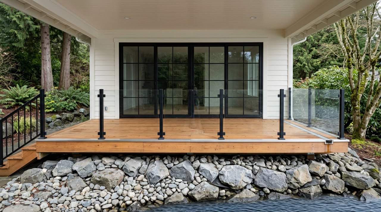
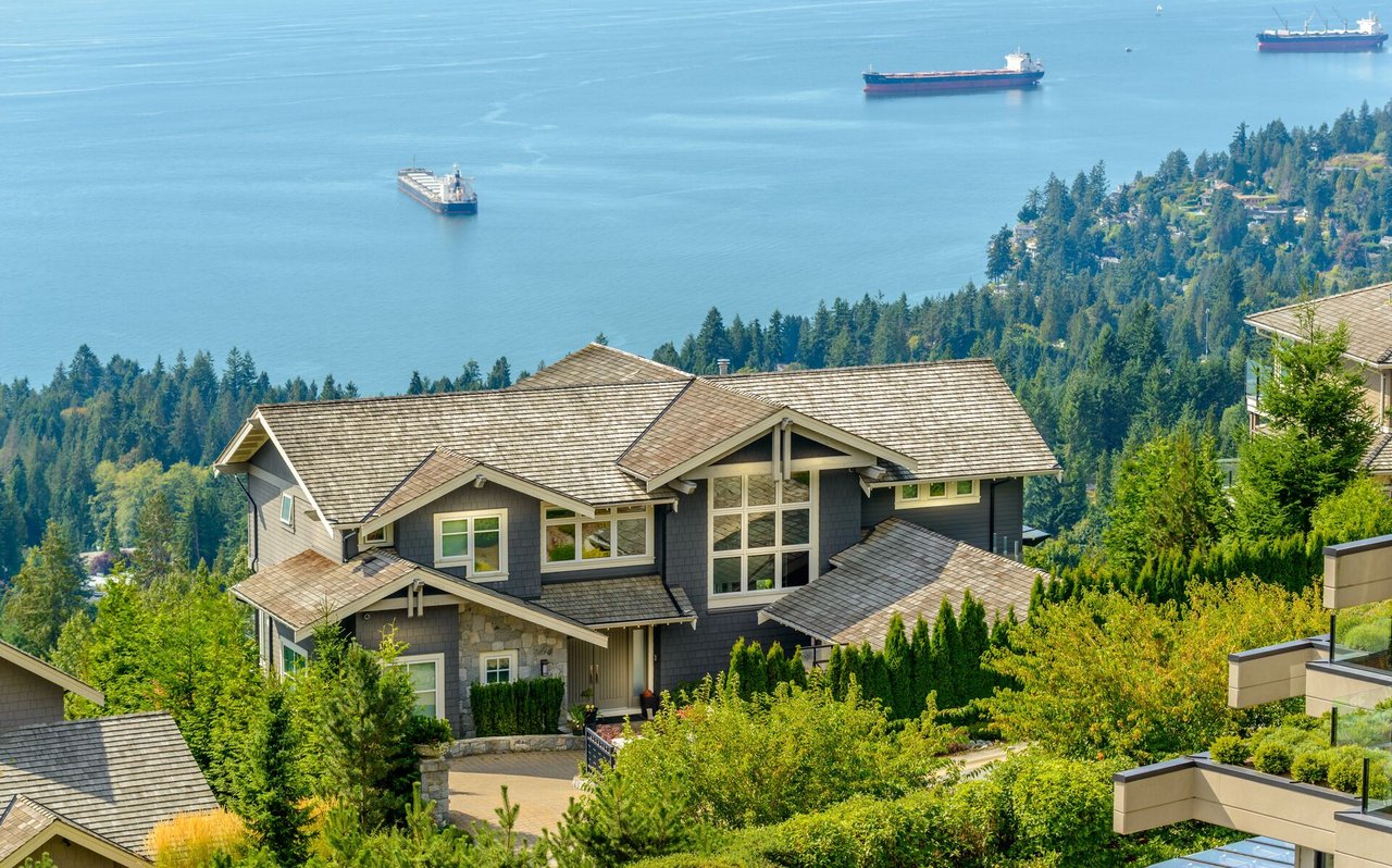
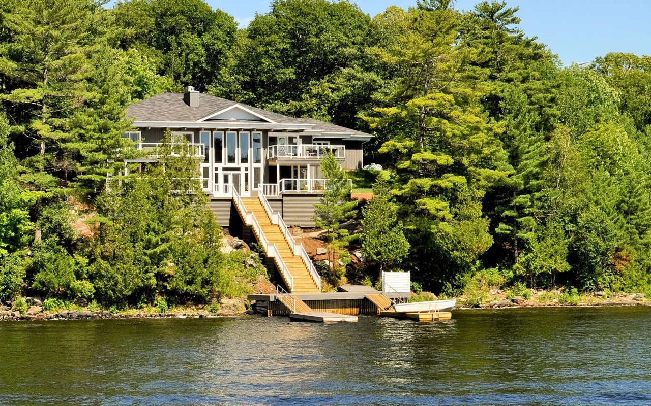
Washougal sits where the Washougal River meets the Columbia, with wide water views, boating, and a working shoreline. You will find activity around the Port of Camas‑Washougal and Parker’s Landing Marina, as well as natural areas and levee structures that shape the shoreline. Views also come from homes set above the river on bluffs and hillsides.
If you plan to keep a boat, know that marina slips are separate from private dock rights. Always confirm launch and slip details directly with the Port, and do not assume a private dock is allowed on a given parcel.
Your lender, insurer, and the City or County will rely on FEMA Flood Insurance Rate Maps. Look up the address on the FEMA Flood Map Service Center and save the FIRM panel and effective date. Then cross‑check local adoption and any recent revisions on Clark County’s FIRM information page.
Tip: A parcel mapped inside a Special Flood Hazard Area can still sit above the Base Flood Elevation. That is where an elevation survey and FEMA map amendment can change your insurance requirements.
Most homeowners policies do not cover flood. Coverage is separate through the National Flood Insurance Program and some private insurers. Get the basics from FloodSmart’s overview of flood risk and coverage.
Premiums today follow FEMA’s Risk Rating 2.0, which uses property‑specific factors like elevation, distance to water, and foundation type. Two neighbors can have very different prices. Learn what drives pricing from FEMA’s Risk Rating 2.0 overview. New NFIP policies generally have a 30‑day waiting period, so align quotes with your contingencies.
If the finished floor appears above the mapped flood elevation, ask a licensed surveyor for an Elevation Certificate. With that in hand, an owner can apply for a Letter of Map Amendment that may remove the federal insurance requirement and lower premiums. Review FEMA’s Online LOMC guidance and instructions.
Parts of the shoreline near the Port sit behind a levee. FEMA mapping and insurance rules depend on whether a levee is accredited and how it is reflected on the current FIRM. Confirm your property’s status and effective panel on Clark County’s FIRM resource. It also helps to review historical river stage records to understand seasonal peaks and the timing of past high‑water events.
The City of Washougal’s Shoreline Master Program sets rules for setbacks, stabilization, and over‑water structures with a goal of no net loss of ecological function. Check the status of the program and any updates on the City’s Shoreline Master Program page.
A private dock is not automatic. In Washington, structures waterward of the ordinary high‑water mark located over state‑owned aquatic lands require authorization from the Department of Natural Resources. Learn about leases and approvals on the DNR’s aquatic lands authorizations page.
Many projects also need federal and state permits. Work in navigable waters or the discharge of fill may require authorization from the U.S. Army Corps of Engineers. Start with the Portland District’s Regulatory FAQ to understand Section 10 and 404 triggers. In‑water or bank work often needs a state Hydraulic Project Approval from WDFW, along with local shoreline permits.
If you love a view from a steep bank, make slope stability part of your due diligence. Clark County’s critical‑areas rules flag erosion and landslide hazards and may require geotechnical studies before construction or additions. Read the County’s standards on critical areas and geologic hazard ordinances.
Look for signs of active erosion, prior stabilization, or large trees leaning downslope. A geotechnical engineer can assess long‑term stability, setback needs, and whether hard armoring would even be allowed under shoreline rules.
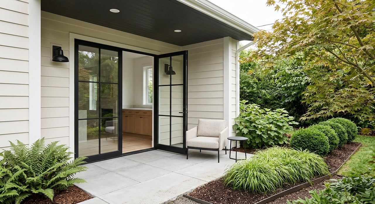
Shoreline parcels may be on City water and sewer or on septic, depending on location. Confirm sewer connection status and septic records early. Ask the City about local stormwater systems and how heavy runoff behaves in the area. These details can influence drainage projects, insurance, and long‑term maintenance planning.
Follow these steps as soon as you identify a promising property. Save documents and dates so your lender, insurer, and appraiser can review them during contingencies.
Waterfront and view homes often hold demand because the setting is unique. At the same time, buyers are careful about risk and cost. Clear documentation, current surveys, and a clean permit history can strengthen your resale story. If you complete an Elevation Certificate or LOMA, keep those records available for the next buyer. The same goes for geotechnical reports and any approvals for shoreline stabilization or docks.
You do not have to navigate maps, permits, and insurance alone. I help you line up the right experts, request the key documents from the seller, and time your contingencies so you can make a confident decision. From interpreting FEMA panels to coordinating surveys and connecting you with local permit staff, my goal is to protect your purchase while keeping the process smooth and clear.
Ready to explore a Washougal waterfront or view home? Reach out to Debra Penton-Clark for a friendly, focused plan to find the right fit.


Market Report
This week the median list price for Washougal, WA 98671 is $875,000 with the market action index hovering around 32.

Market Report
This week the median list price for Vancouver, WA is $624,900 with the market action index hovering around 42.
Market Report
This week the median list price for Clark County, WA is $716,000 with the market action index hovering around 39.
If you are thinking about buying or selling a property in Washington or Oregon, you need a Realtor that knows the market. You will be my absolute focus. I will work with you every step of the way. First property or moving to your forever home, I will make the process simple, efficient and tailored to your wishes.